Hiking Jangsan from Daecheon Park: The Mountain Behind Haeundae, and the 3pm Summit Rule
Haeundae is known for its beach, but there's a mountain standing right behind the towers. Jangsan is wide enough to hold several hiking routes, and Visit Busan describes the climb to its peak as a three-hour outing. This post covers how to hike Jangsan Mountain from Haeundae by subway, and whether the full climb deserves your morning.
My short answer is yes, with one condition: the summit keeps opening hours. If you can't reach it in time, the silver grass field below it is a better goal than a rushed climb.
The rule that shapes the whole day
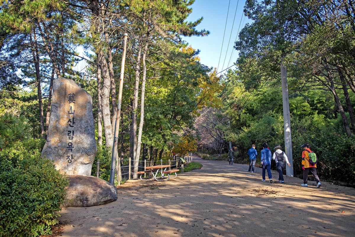
The fact that should decide your start time is this: according to Visit Busan, the summit of Jangsan lies inside a military zone. Hikers may enter it only between 10am and 3pm.
That window matters more than any trail detail, because Visit Busan's autumn itinerary adds that the summit is a further 40 to 50 minutes beyond the silver grass field. Reach the field much after 2pm and you'll be racing the cutoff on the rockiest stretch of the day.
I'd plan backward from that time: leave the station in the morning, not after lunch, and treat the summit as a bonus rather than a promise.
Getting there: the end of Line 2, then a walk
Jangsan is the eastern end of subway Line 2 — one stop past Jung-dong. From Centum City it's five stops east, through BEXCO, Dongbaek, Haeundae and Jung-dong. Our side door is 30 seconds from Centum City Station, so the subway part of this trip is short and simple for guests staying with me.
The station isn't the trailhead, though, and Daecheon Park, where Visit Busan says most hikers begin, is a proper walk from the platform. And here the official sources don't agree on the exit.
- Visit Busan's Jangsan page gives Exit 10 and a 26-minute walk.
- Visit Busan's autumn itinerary gives Exit 12 and a 25-minute walk.
- The subway operator's exit table names Daecheon Park at Exit 12, and lists a shopping building and a bank at Exit 10.
I'd use Exit 12, since the operator, the Busan Transportation Corporation, puts the park there and the two walking times are almost the same anyway.
There are other ways in, too: Visit Busan lists buses 100-1, 115-1, 181, 40 and 63 to the Daelim 3-cha Apartment stop, followed by a 15-minute walk. Its itinerary also gives Sinhaeundae Station on the Donghae Line, Exit 1, with a 20-minute walk. If you drive, Daecheon Park has a paid public parking lot five minutes from the park on foot.
You'll need a transit card to get through the subway gates. How to buy and top one up is in Paying Your Way Around Busan.
The way up, stage by stage
Visit Busan's route description is the most useful thing it publishes about Jangsan, so here it is in my own words.
The walk begins gently, as the path from Daecheon Park enters the valley on flat, well-made ground and passes a forest bathing area. In autumn, Visit Busan notes, the maples and ginkgo trees around Daecheon Lake inside the park turn red and yellow.
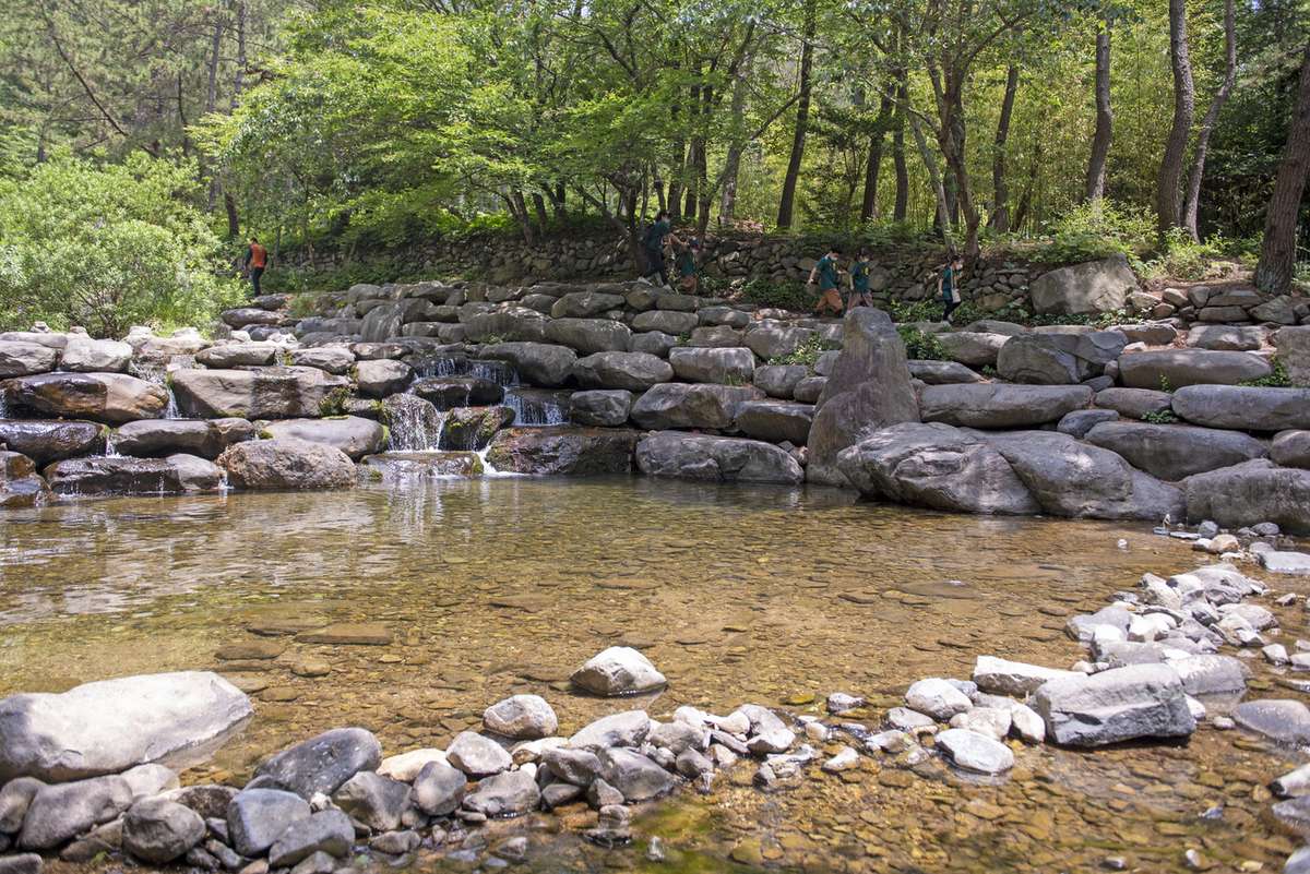
Not far up you reach Pokposa, a small temple, and then Yangun Falls, a white waterfall over a blue pool. Cross Sinseongyo Bridge after the falls and the real climbing starts.
Higher up is the Neodul Zone, a slope of loose boulders with an information board. From here you can see downtown Haeundae below, which shows you've made real progress. Above it, Visit Busan says, you can switch between a forest road and the hiking paths. According to Visit Busan, the road is the less tiring of the two.
The silver grass field, and why it may be enough
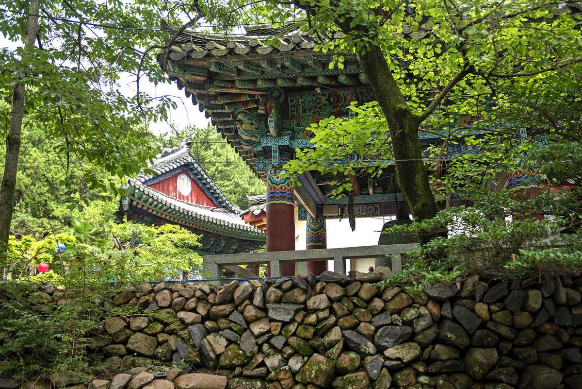
Partway up the mountain is a wide field of silver grass. Visit Busan's itinerary calls it Jangsan's autumn photo spot, and it makes a point I agree with: you can enjoy the field without going on to the summit.
My own view is firm: if you're short on time, short on fitness or past the summit window, make the silver grass field your destination. You still get the autumn scenery and the mountain air, and you skip the hardest ground. The stretch from the field to the top is where Visit Busan warns of big rocks underfoot.
If you do have the time, the summit gives you something the field can't. Visit Busan says the view takes in Marine City, Gwangandaegyo Bridge and the Gwangalli coast. Further off are Bongnaesan, Hwangnyeongsan and Geumjeongsan, with downtown Busan filling the gaps between them. That's most of the city in a single view — something no beach-level spot in Haeundae can offer.
Coming down a different way
Visit Busan's route doesn't simply retrace its steps. The descent follows a rocky forest path to the Jungbong observatory, just before Jungbong Peak itself. A long wooden deck runs between Jungbong and Ongnyeobong, two peaks joined by a ridge. Below that the trail mixes dirt, rock and decking before it rejoins the valley you climbed through.
What it costs you
Jangsan is free, and Visit Busan lists the mountain as open at all hours, apart from the summit window. The costs are time and effort, and you should weigh them honestly before you set out.
- It's a long day. Visit Busan's figure is three hours on the mountain, plus the walk from the station at each end.
- The top is rough. Visit Busan mentions big rocks near the summit and a rocky path on the way down. Wear proper shoes, not beach sandals.
- The summit has a curfew. Arrive at the military zone after 3pm and you can't go in.
- It doesn't pair well with a beach afternoon. A full climb plus hours on the sand is a lot for one day, so pick one as the main event.
None of that should put you off, since it's simply the price of seeing Haeundae from above instead of from the sand.
If you'd rather keep it easy
Jangsan isn't the only height near the beach. For something gentler, Dalmaji Hill and the Moontan Road is the lighter choice. Jangsan Station's Exit 3 is also where the village bus to Cheongsapo starts, which I covered in my Sky Capsule post.
The short version
Take Line 2 to Jangsan, the end of the line, and use Exit 12 for Daecheon Park. Start in the morning, because the summit is open only from 10am to 3pm. If time runs short, stop at the silver grass field and call it a good day.
One practical note if you're staying with me: someone is on my front desk from 8am until 2am, and there's always a guest arriving outside those hours. If you want to talk the route through, catch me the evening before rather than at dawn. Questions reach me directly through korea-busan.com.
Facts checked on 4 October 2026. Line 2 station order and Jangsan Station exits: Busan Transportation Corporation (humetro.busan.kr). Trail route, summit hours, walking times, buses, parking and fees: Visit Busan (visitbusan.net). Photo: Busan Tourism Archive (visitbusan.net), KOGL Type 1
Comments
Post a Comment